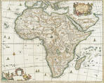
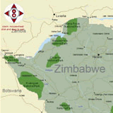
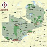
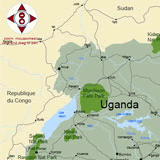
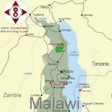
This African Travel Map resource will help you to orient yourself to the national parks and nature reserves towns and cities in Southern and Eastern Africa.

Africa Map Highlights
Total surface area: 30.2 million km2 [11.7 sq mi]Population: 1 Billion or 14.2 percent of world population
Largest countries by area in Africa
Sudan - 2,505,810 km2Algeria - 2,381,740 km2 Total surface area: 30.2 million km2 [11.7 sq mi]
Population: 1 Billion or 14.2 percent of world population
Smallest countries by area in Africa
Seychelles - 454 km2The Gambia - 11 295 km2 [smallest country on mainland Africa]
Largest population in Africa
Nigeria - 129,000,000Egypt - 78,500,000
Most Populous Cities in Africa
Cairo, Egypt - 14,800,000Lagos, Nigeria - 11,400,000
Highest Mountains in Africa
Kilimanjaro - Tanzania - 5,895 m [19,341 ft]Mount Kenya - Kenya - 5,199 m [17,057 ft]
Longest Rivers in Africa:
Nile -6650 km: Egypt, Ethiopia, Eritrea, Sudan, Uganda, Tanzania, Kenya, Rwanda, Burundi, Democratic Republic of the Congo [ the Nile is the longest river in the world]Congo - 4700 km: Democratic Republic of the Congo, Central African Republic, Angola, Republic of the Congo, Tanzania, Cameroon, Zambia, Burundi, Rwanda